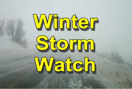
 Winter Storm Watch in effect from Thurs morning thru Fri afternoon. This includes the Valley City area.
Blizzard conditions possible. Travel could be very difficult to impossible. Total snow accumulations of up to 2 inches, with localized amounts up to 4 inches, are possible, for portions of northwest Minnesota, west central Minnesota, northeast North Dakota and southeast North Dakota.
Winds will pick up Thursday morning, but rain will change
over to snow Thursday afternoon and evening. The strong winds
and snow possibilities will continue into Friday morning.
Winds gusting as high as 60 mph could cause whiteout conditions in blowing snow. Significant drifting of the snow is also possible.
PRECAUTIONARY/PREPAREDNESS ACTIONS…
A Winter Storm Watch for blizzard conditions means there is a
potential for falling and/or blowing snow with strong winds and
extremely poor visibilities. This can lead to whiteout conditions
and make travel very dangerous.


Comments are closed
Sorry, but you cannot leave a comment for this post.