Jordan Matzke recorded three dramatic drone videos giving an aerial view of the flooding in the LaMoure, ND area along the James River and Lake LaMoure. Shared with permission from Jordan Matzke. View & Like.
Video #2
Video # 3
Previously Reported: April 3, 2019.
LaMoure County officials are requesting volunteers to help fill sandbags. The goal is now to fill 5,000 sandbags.
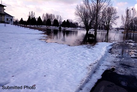
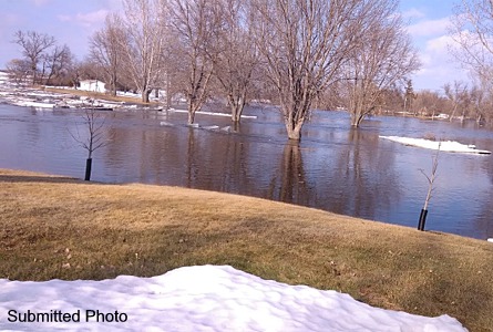
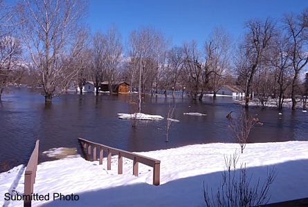
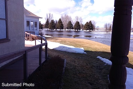
Upstream of LaMoure, the rising river inundated the LaMoure County Memorial Park in Grand Rapids flooding buildings, roads and a portion of the golf course.
Volunteers should report to the LaMoure County shop with gloves and shovels, and will be asked to sign a release if they help.
The James River at LaMoure is above flood stage at 14.5 feet and expected to stay that way for several days. Ice jams on the river may cause fluctuations of the river level of up to 1 foot..
Seven ice jams are between Montpelier and LaMoure.
River levels are already comparable to 2011 and fluctuations in water levels are expected.
https://lamourecountynd.com/SpringOutlookandFloodInformation


Comments are closed
Sorry, but you cannot leave a comment for this post.