Spring Outlook and Flood Information
Update (April 11, 2019): Releases of 400cfs were initiated from the Jamestown Reservoir and approximately 6 from Pipestem. The total combined release will not significantly impact stages at streamgages below Jamestown, ND.
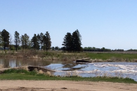
Please be aware of snow and water covered roads in LaMoure County.
Road Closures:
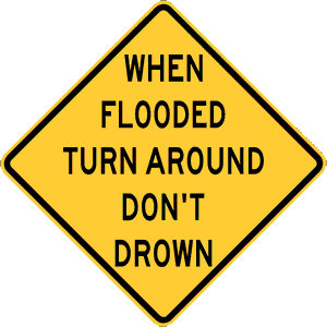
Don’t drive through flooded roads. Turn Around and find another road. Prepare:
Please start preparing your home and property now. Some sandbags will be available for sale at the LaMoure County Highway Department. You must call (883-5131) to reserve the bags and make arrangements to pick them up. The US Army Corps of Engineers has resources on how to sandbag:
Sandbagging Techniques_USACE_2019.pdf
https://www.youtube.com/watch?v=rj7aUwIHYlw
For more information on how to protect your home and property:https://www.ready.gov/
James River Specific Information:
The flood stages of the James River at LaMoure are: Action Stage – 12 ft, Minor Flood stage – 14 ft, Moderate Flood stage – 16 ft, and Major Flood stage of the James River begins at 18 ft.
The record at the LaMoure gage is 17.56 ft set on 04/15/2009.
https://lamourecountynd.com/james-river
Follow the James River at this site to find out information about the probability of flooding:
https://water.weather.gov/ahps2/hydrograph.php?wfo=bis&gage=lamn8
Watch the James River for hourly flow and levels at the gages near Adrian and LaMoure on U.S. Geological Survey website.
For the Adrian gage, a maximum reading of 36.09 feet was recorded on April 14, 2009. In 2010, the maximum reading on the gage was 32.5 feet and in 2011, the Adrian gage highest reading was 31.13 feet.
https://waterdata.usgs.gov/nd/nwis/uv/?site_no=06470425&PARAmeter_cd=63158,00065,00060
https://waterdata.usgs.gov/nd/nwis/uv?site_no=06470500
The U.S. Geological Survey WaterAlert service sends e-mail or text messages when certain parameters measured by a USGS data-collection station exceed user-definable thresholds. The development and maintenance of the WaterAlert system is supported by USGS and its data-collection partners, including numerous federal, state, and local agencies. Notifications will be based on the data received at these site-dependent intervals. Sign up here: https://maps.waterdata.usgs.gov/mapper/wateralert/
Weather Terms:
Hydrologic Outlook – Used to heighten awareness of possible flooding in the next severaldays. The flooding could be the result of snow melt, heavy rain, ice jams, or a combination ofthese. If you have property in a flood prone area you might want to start preparing!
Flood Watch – Flooding is possible. It’s time to prepare!
Flood Warning – Flooding is imminent or occurring. It’s time to act!
Flooding can be caused by heavy rain, rapid snow melt, ice jams, and dam failure. It only takes 6 inches of fast-moving water to knock you off your feet. It only takes 2 feet of rushing water to carry away most vehicles. On average, floods kill more people in the U.S. each year than lightning or tornadoes.


Comments are closed
Sorry, but you cannot leave a comment for this post.