GRAND FORKS, N.D. (KFGO) – The National Weather Service in Grand Forks says its survey crews confirmed there were five tornado touchdowns across eastern North Dakota and northwest Minnesota late Friday afternoon and evening as severe thunderstorms rolled through the region.
Two touchdowns occurred in Barnes County. An EF-1 rated tornado, with an estimated peak wind of 108 miles an hour was reported two miles north of Leal, northwest of Valley City. Its path was about 4 miles long and 150 yards wide. It caused damage to one home and a grain storage facility and impaled wood panels into the side of a home.
 There was a brief touchdown of an EF-0 tornado near Rogers, North Dakota, north of Valley City, with an estimated speed of 75 mph. where tree damage was reported..
Previously…
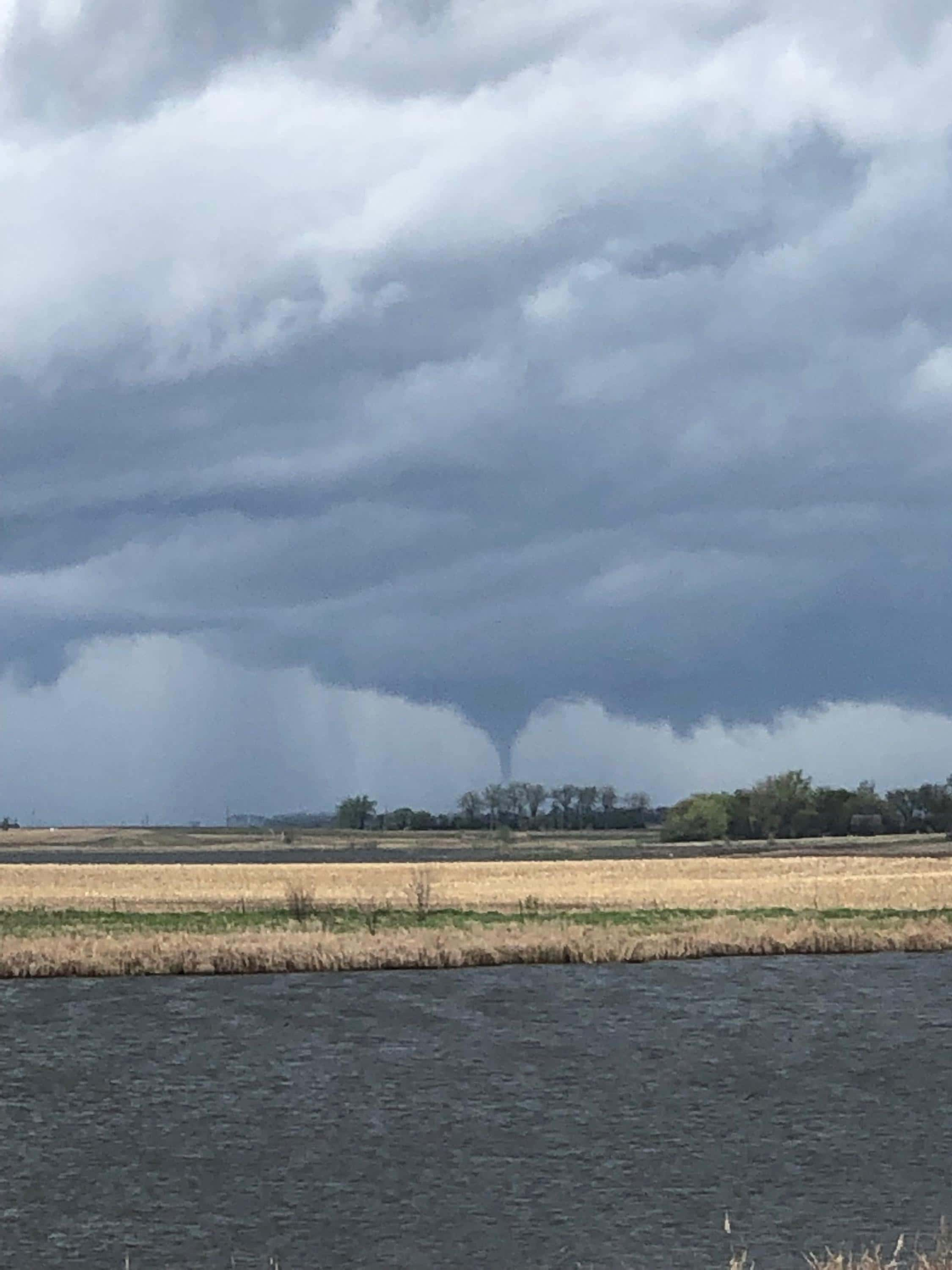
VALLEY CITY, N.D. (WDAY) — Turbulent spring weather just as the Memorial Day weekend was beginning rolled across east-central North Dakota and into northwest Minnesota on Friday night, May 24.
There was at least one report of structural damage from a tornado in the Leal area about 30 miles northwest of Valley City. Residents there called 911 to report the damage about 5:30 p.m.
That was the only verified tornado touchdown as thunderstorms rolled across the region. National Weather Service Meteorologist John Hoppes said the storm formed in the Jamestown area and then moved east and northeast.
With it came straight-line winds of 60 to 70 mph hitting the Hope area, about 35 miles northeast of Valley City, and then moving into the Mayville and Hillsboro area, according to WDAY meteorologist Andrew Whitmyer.


Comments are closed
Sorry, but you cannot leave a comment for this post.