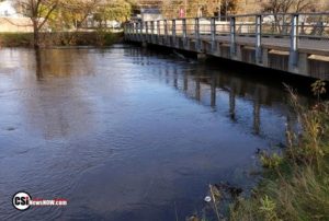
 Bismarck (NWS) The National Weather Service on February 12, 2020 issued the update spring flood outlook information.
..Flood Outlook Highlights…
The likelihood of widespread spring flooding across western and central North Dakota has generally fallen over the past few weeks.
In short, all but the James River basin is at, or below, normal risk levels. Water equivalent received since the January outlook has been unremarkable. In fact, received moisture is probably less than or equal to the sum of observed melt, evaporation, and sublimation, especially along and west of the Highway 83 corridor.
In the James River Basin, flood risk in the very upper part of the basin near Harvey is probably the lowest and near normal. However, the risk of at least Minor flooding increases quickly as one gets closer to Pingree and Grace City.
Jamestown and Pipestem dams continue to have well above normal discharge and that is expected to continue until the commencement of the spring runoff.
Downstream of Jamestown, wet, frozen soils and an already above normal Snow Water Equivalent (SWE) are enough to present widespread flood concerns. Bear and Bonehill creek along with the Maple River and essentially all other small streams have enough SWE to present problems this spring.
Perhaps the one risk factor that is not working against the lower James River basin is that the early and heavy snowpack has kept frost depths to a minimum. Soils underneath the heaviest snowcover have been well insulated this winter and have the least frost depth, with some areas having unfrozen ground.
A gentle spring will greatly reduce runoff in areas with the shallowest frost depths.
The Prairie Pothole region, including at least parts of Sheridan, Wells, Kidder, Stutsman, Logan, McIntosh and Dickey counties have enough SWE to suggest overland flooding will be a concern going into spring.
Most small wetlands and ponds were filled by the wet fall and are going into spring with water levels that are near their normal summer time high water mark. Low lying roads next to some of these wetlands are at risk of extended closures this spring and summer.
The next outlook will be issued February 27.
Click here for additional information


Comments are closed
Sorry, but you cannot leave a comment for this post.