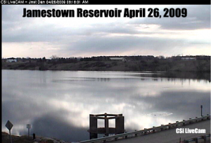
 Bismarck (CSi) The National Weather Service in Bismarck has issued the Flood Outlook for the spring of 2014, which says the flood risk for the James River basin is normal to slightly elevated.
Greatest contributor to the existing risk is this past wet fall, and a series of warm spells during an otherwise colder than normal winter, which has led to a frozen soil surface. That, greatly lowers the ability of the soil to retain much of the runoff from snowmelt and early spring rains.
The Weather Service adds, the outlook does not include the risk factor of ice jams or other ice affected high water.
It says there is reason to believe that the colder than normal winter, thus far, has produced a thicker sheet of ice on backwater areas, of all streams which could be problematic if the region experiences and early runoff, combined with rain.
The snow received thus far has generally been lower in water equivalent due to the colder temperatures.
Greg Gust and Mike Lukes with the National Weather Service say most Minnesota and North Dakota tributaries will likely have minor to moderate flooding.
Lukes says its early in the game but as of today the chances for moderate and major flooding in Valley City and Lisbon is less than 5 percent.
A moderate flood potential is possible for most of the Red River main stem. And a rise of 1 to 1 1/2 feet is expected on Devils Lake.
They say soils and streams are a bit “wet” in the far southern basin but otherwise near normal. The water content is generally running a bit low. And the rest of winter is likely to be colder than normal.


Comments are closed
Sorry, but you cannot leave a comment for this post.