 Subscribe by RSS
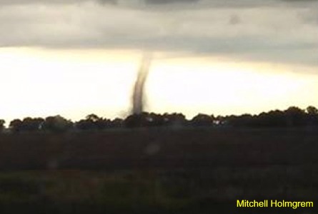 Jamestown (CSi) A strong weather system that included funnel cloud sightings in Stutsman County early Sunday evening led to at least three tornado warnings.
The funnel cloud was first reported in the Eldridge area, that reportedly touched down, (see photo) in the 7-p.m. hour, and slowly moved at 8 mph east toward Jamestown. The Tornado Sirens sounded in Jamestown, and the CSi Cable interrupt system was activated by the National Weather Service, and the Law Enforcement Center in Jamestown, along with CodeRED phone alert system, alerting residents to take cover. During the same time period, areas in the county, including north central Stutsman County (and southern Foster County) and central, and southeast Stutsman and northern LaMoure Counties were under tornado warnings, the last expiring at 8:30-p.m.
Tornado warnings were issued for Buchanan, Montpelier
During the warnings, the public reported a funnel cloud forming over southwest Jamestown and moving to the southeast. That was not officially confirmed.
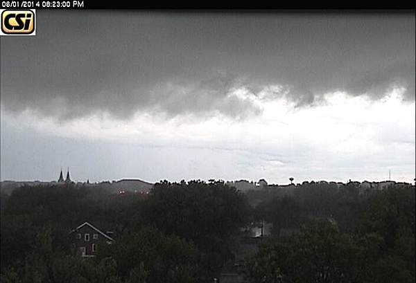
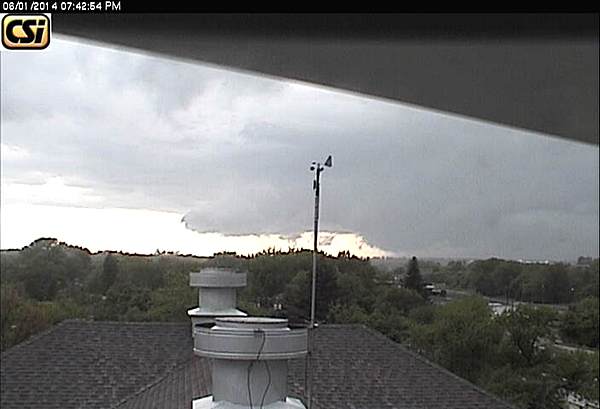
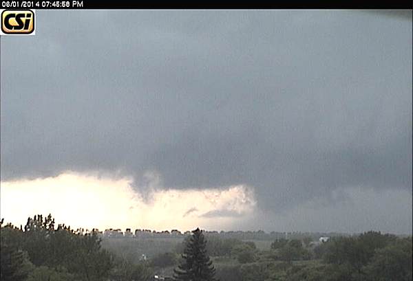
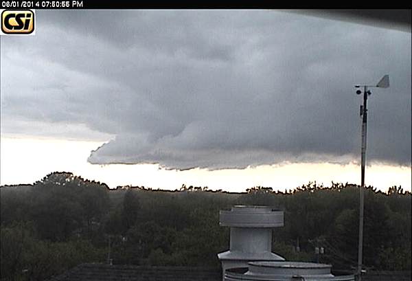
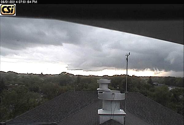
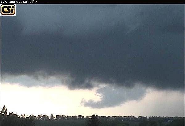
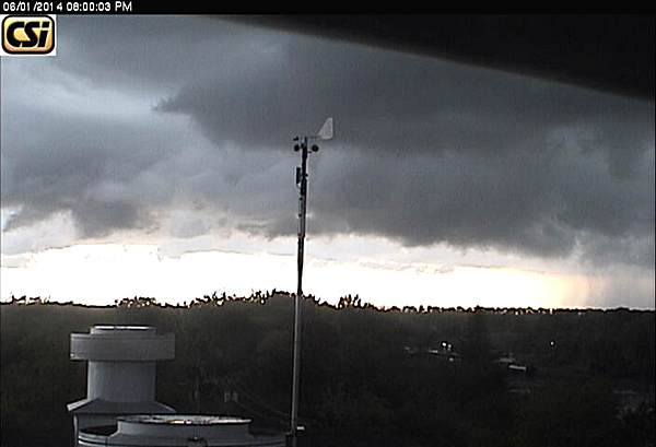
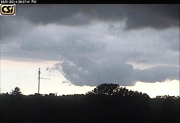
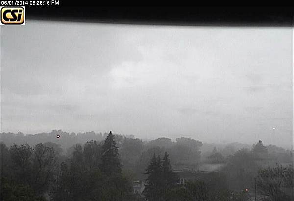
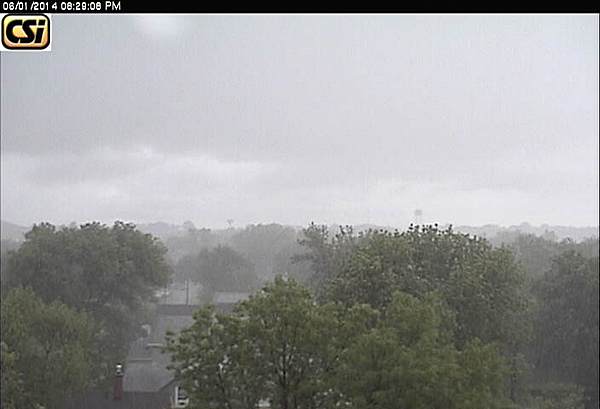
The Stutsman County Sheriff’s Office confirmed a tornado touchdown northwest of Jamestown. No initial reports of damage, however the warnings were followed by heavy rain in thunderstorms that officially dropped 1.15 inches of rain between 8:30 and 9-p.m., before moving off to the east.
The national Weather Service issued a Flood Advisory until 2:30-a.m., Monday, that was cancelled late Sunday night. A Flood Watch for Monday was cancelled overnight. Unsettled weather, with rain is in the forecast for Monday.
Official News Release from Stutsman County Emergency Manager…
The forecasted potential for rain turned more severe Sunday evening as a line of thunderstorms traveling through the County intensified. At 7:03 p.m., the Law Enforcement Center received multiple reports of a tornado on the ground approximately 12 miles west northwest of Jamestown. A Stutsman County Sheriff’s Deputy, who was in the vicinity, verified the tornado on the ground traveling in the direction of Jamestown. At the time of the tornado, there were no active warnings issued by the National Weather Service other than an areal flood watch issued earlier in the day.
At the recommendation of the Deputy, sirens for the City of Jamestown were activated at 7:09 p.m. without an official tornado warning being issued by the National Weather Service. The tornado occurred in an open field with early reports indicating no specific damages as a result. The National Weather Service was notified of the tornado.
Shortly following that event, the National Weather Service issued a series of four official tornado warnings based on Doppler radar indications of storm rotation. The first warning occurred at 7:15 p.m. for northern Stutsman and southern Foster Counties. No additional tornadoes were reported.
The second tornado warning occurred at 7:30 p.m. for the Jamestown area. Sirens for the City of Jamestown were activated for the second time. Sirens for the City of Buchanan were also activated. No additional tornadoes were reported.
The third tornado warning occurred at 7:43 p.m. for southeastern Stutsman County, which included the Montpelier area, and a portion of northern LaMoure County. No additional tornadoes were reported.
The fourth tornado warning occurred at 7:59 p.m. again for the Jamestown area. Sirens in the City of Jamestown were activated for a third time with no additional tornadoes reported. However, street flooding in Jamestown was reported. The railroad viaduct was flooded and was temporarily closed. Jamestown Airport measured 1.15 inches of rain that fell in about 30 minutes. No hail reports were received.













Comments are closed
Sorry, but you cannot leave a comment for this post.